
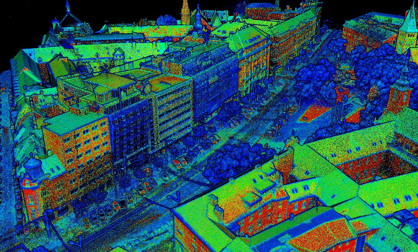
Drone photogrammetry is an efficient method for capturing large areas and complexterr ains using high-resolution aerial imagery.
By processing overlapping drone images, we create accurate 3D models, orthomosaics, and terrain data suitable for surveying, construction, planning, and monitoring projects.
This technology enables fast data acquisition with minimal site disruption while maintaining high accuracy and reliability.
What the service includes
Deliverables
Data can be delivered in formats compatible with CAD, GIS, and BIM workflows.